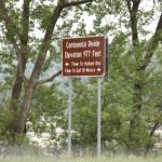
Continental Divide
View on Map Open in Google MapsThe city of Browns Valley is located along the Laurentian Continental Divide, a small rise in the land which influences whether water flows north to the Hudson or south to the Gulf of Mexico.
W Broadway Ave.Browns Valley, MN 56219
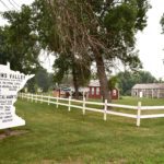
Samuel J. Brown Memorial Park
View on Map Open in Google MapsA historic cabin where you can learn about Browns Valley’s history.
W Broadway Ave.Browns Valley, MN 56219
320-695-2608
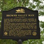
Browns Valley Man
View on Map Open in Google MapsUncovered in 1933, experts named the bone fragments “Browns Valley Man” and estimated it to be 9,000 years old.
TH 28/7 EBrowns Valley, MN 56219
Big Stone Lake State Park
View on Map Open in Google MapsNestled on the shores of Big Stone Lake, or Bde Iŋyaŋ Takiŋyaŋyaŋ, this state park offers visitors a quiet camping experience complete with fishing, swimming, hiking and bird watching.
35889 E MeadowbrookOrtonville, MN 56278
320-839-3663

Ortonville Historic Buildings
View on Map Open in Google MapsA group of more than 15 historic properties along the shore of Big Stone Lake.
Hwy. 12 & Hwy. 75Ortonville, MN 56278
320-839-3359
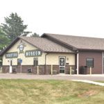
Big Stone County Museum
View on Map Open in Google MapsBuilt on the site of Paul Bunyan’s anchor, this museum features many treasures of the past and interpretations about life as a pioneer.
985 U.S. 12Ortonville, MN 56278
(320) 839-3359


