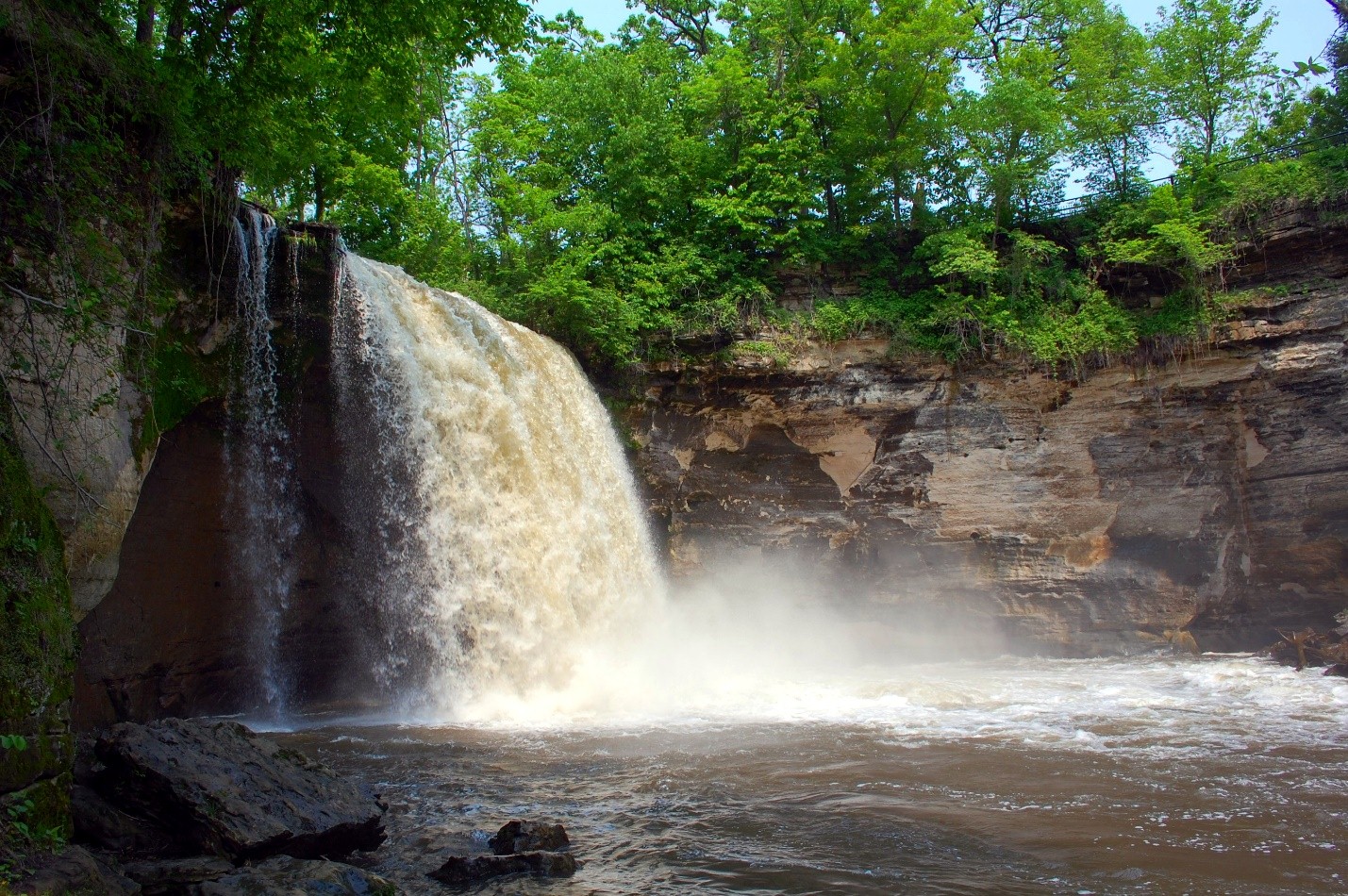
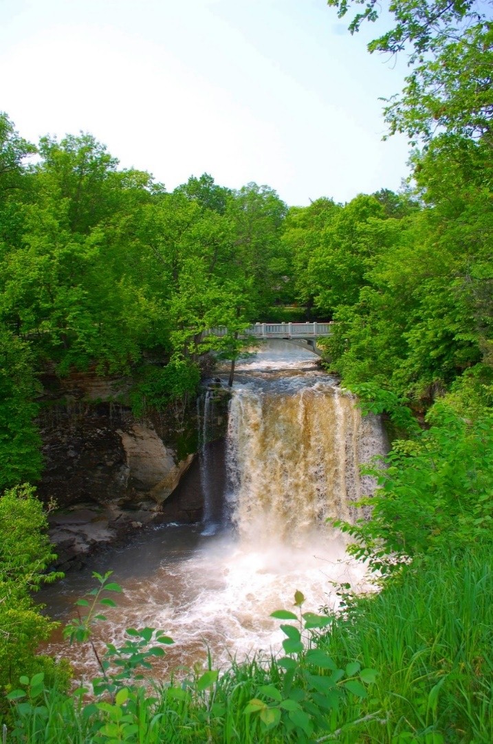
You will begin your day-long trip through the Minnesota River Valley with a stop at Minneopa State Park, located just 5 miles west of Mankato. Minneopa State Park is comprised of three main attractions, which are the double waterfalls, the bison herd, and the Seppmann Mill overlook. All three attractions are part of Minneopa State Park, but the falls is located off of Blue Earth County Road 69, while the bison herd and mill are located off of State Highway 68. Visitors need to pay for a vehicle permit to enter a state park so it makes sense to take advantage of all three attractions. It is also significant to note that a daily vehicle permit is good until 10:00 pm in all Minnesota State Parks, so a permit purchased at Minneopa State Park is valid until 10 p.m. that night for all of the state parks up the river valley.
Minneopa Falls is a perfect spot for taking pictures, so have your camera ready. If the weather allows, we highly recommended a hike down to the lower falls. Once you reach the bottom of the falls, it is picture time! If you don’t feel up to hiking down to the falls, there still is a spectacular view at the top of the falls. Have a photo contest with your family or friends to see who can take the most unique picture. The falls are equally beautiful in the fall, winter or summer, so we recommend a trip any time of the year.
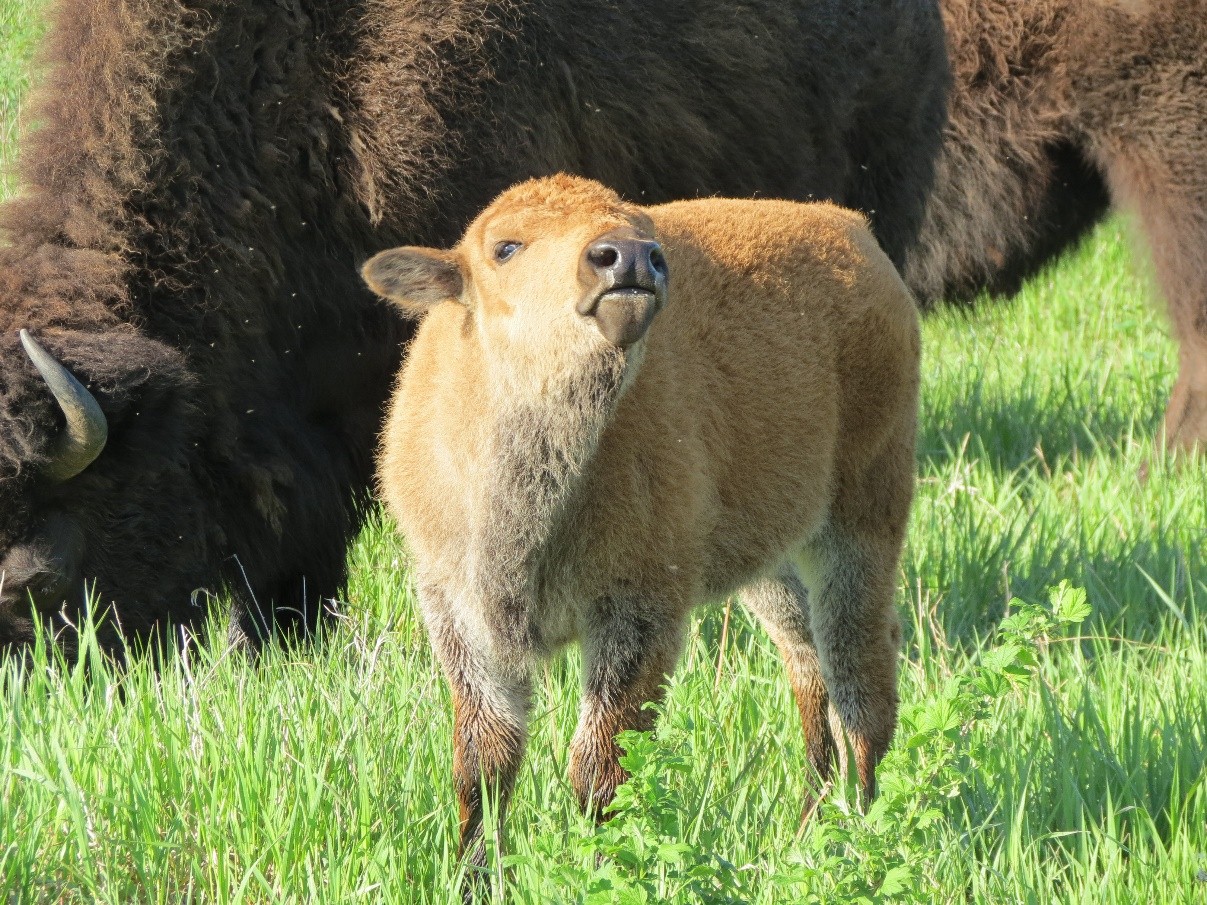
Next, you will drive to see the bison herd on the other side of Minneopa State Park. Can you believe there are bison in Minnesota? I was just as surprised the first time I went to visit the bison. The bison at Minneopa State Park are part of a new initiative called the “Minnesota Bison Conservation Herd.” Initiated in 2014, this Minnesota DNR project joins a national effort to “preserve the genome of the North American Plains Bison” in partnership with the Minnesota Zoo. While you are driving through the scenic bison park, be sure to maintain a safe viewing distance of 25 yards (1/4 of football field). Remember, they are a powerful animal that can run much faster than you can (at least 30 miles per hour)! If you are lucky, maybe you will get a close-up photo of the bison near your car!
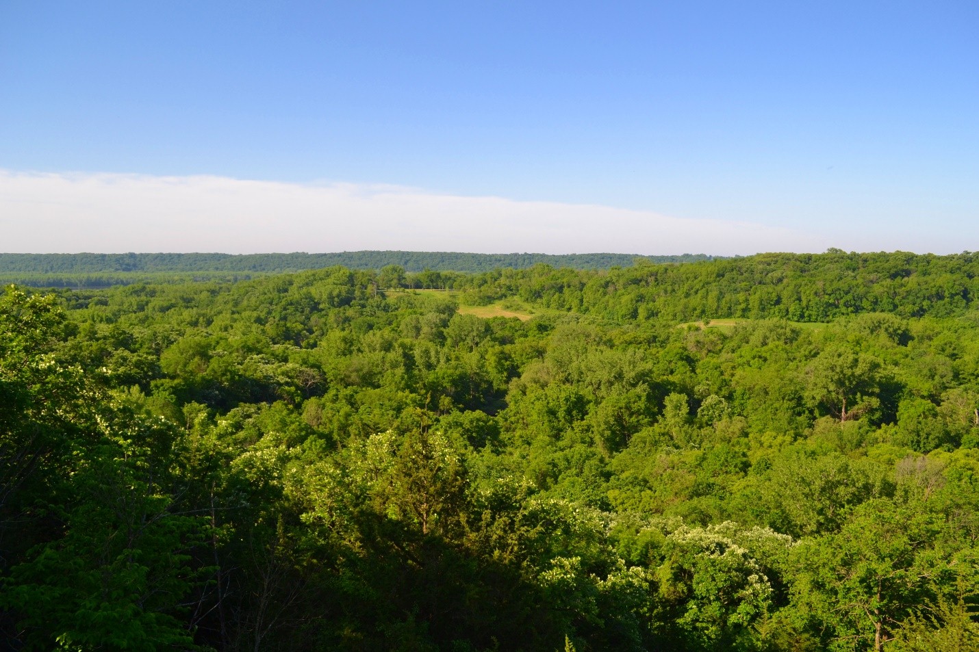
After leaving Minneopa State Park, you will take scenic Highway 68 and pass through the German city of New Ulm, where you will find many unique shops and restaurants. After passing through New Ulm, you will take the Minnesota River Scenic Byway for about 15 miles before arriving at Fort Ridgely, your second destination. Take in the beautiful views on this drive, and make sure to keep an eye out for deer and other animals crossing the road!
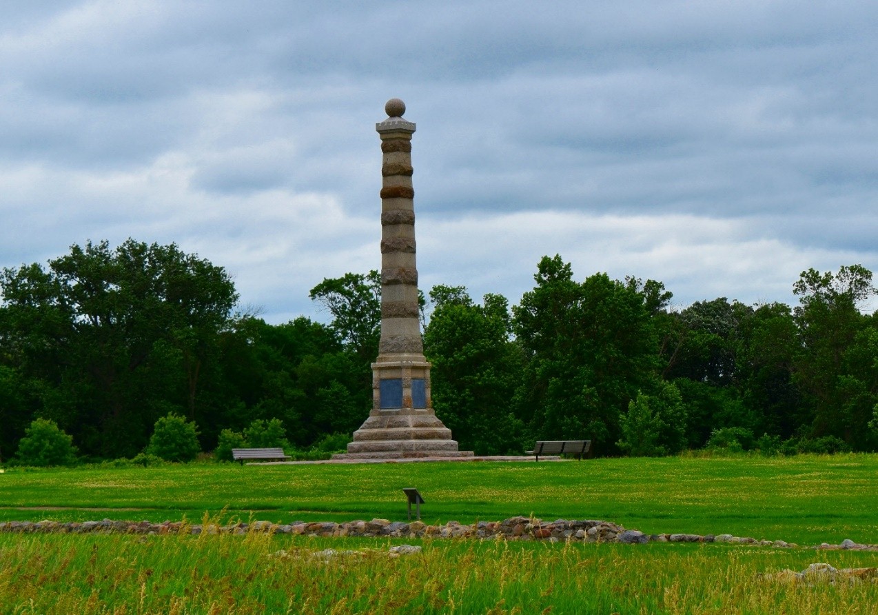
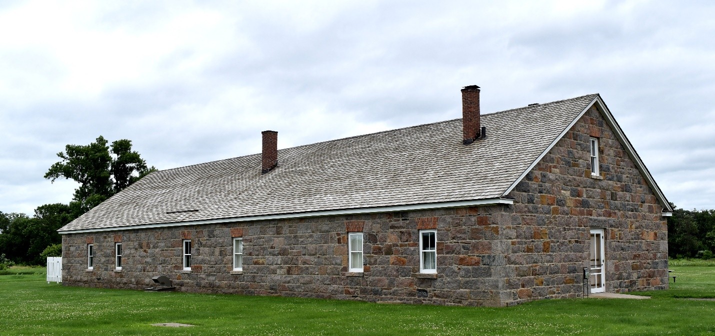
The main attraction of the park is the Fort Ridgley Historic Site and Monument, which preserves the remains of a frontier army fort from the mid-1800s. This fort played a significant role during the US-Dakota War of 1862. The Fort Ridgely Historic Site Museum is open weekends from Memorial Day to Labor Day, and a self-guided interpretive trail circles the parade ground outside. Most of the historic buildings in the park were built in the 1930s by the Civilian Conservation Corps and the Veterans Conservation Corps, both of which had encampments in the park. An interpretive kiosk at the Upper Picnic Area offers a glimpse of what life was like for Corps members, helping visitors imagine what it would feel like to be at this historic site in 1862.
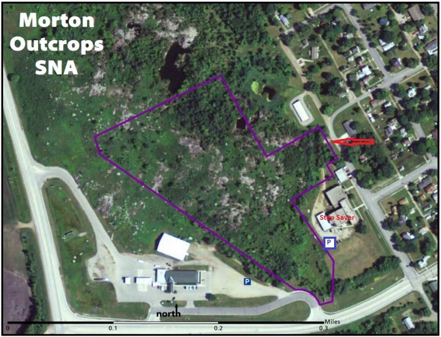
The directions to the site listed on the DNR website are the following: In Morton, on the NE corner of US Hwy 71 and MN Hwy 19. Ask permission to park at the gas station, then hike NE into the site. Lat/Lon: 44.549854, -94.991403 – map.
Accessing the overlook is a bit of an adventure. Make sure you pay attention to the brush you are walking through to get to the overlook. An alternative access point has kindly been granted by the private business owner on the east side of the SNA. Please be respectful of private property if you use this access. Turn north on Centennial Dr. Take a right turn into the driveway on the north side of the Step Saver business in the old brick school house. Drive around to the back and park in the open area just beyond the boot brush station and signs.
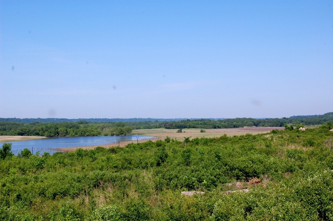
Additionally, it is important to note that there are no maintained trails or recreational facilities at this site. The reason there are no maintained trails at this site is because SNA’s are pristine, protected areas. Once you hike to the top of the overlook, be sure to explore the rocky water formations, also known as “kettle holes.” These “kettle holes” form short-lived rainwater pools in the spring and early summer, and many plants living in these “wetlands” complete their short lives before mid-summer droughts. The rocky formations that you are seeing are some of the oldest bedrock exposed on the earth and are estimated to be 3.6 billion years old! Soak up the view and be sure to take plenty of scenic pictures of the bedrock and kettle holes. Which of the geological features surprised you the most at this SNA? Upon leaving this scenic SNA, make sure to wipe your shoes with the brushes at the shoe cleaner station to remove any extra dirt or seeds.
*As an alternative to hiking at the Morton Outcrops SNA, you could visit the historical monuments in Morton that commemorate the battle of Birch Coulee. For more information on Birch Coulee, click here. The site address and directions can be found on the same site.
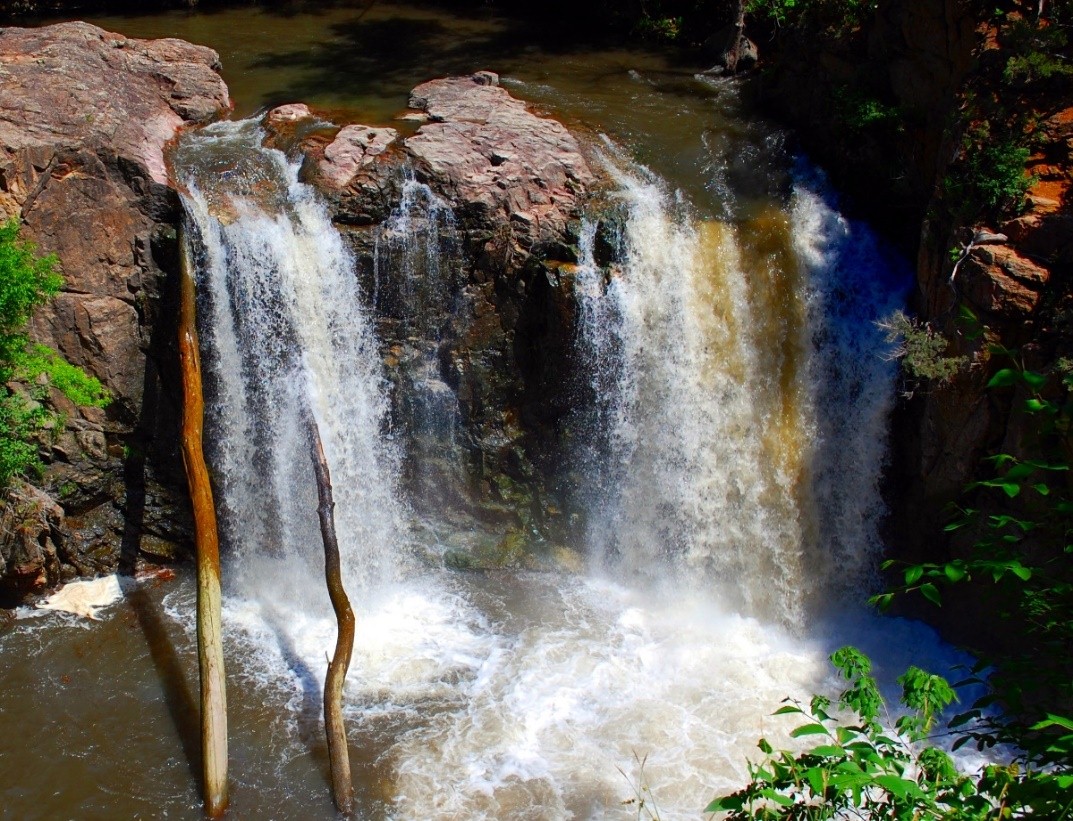
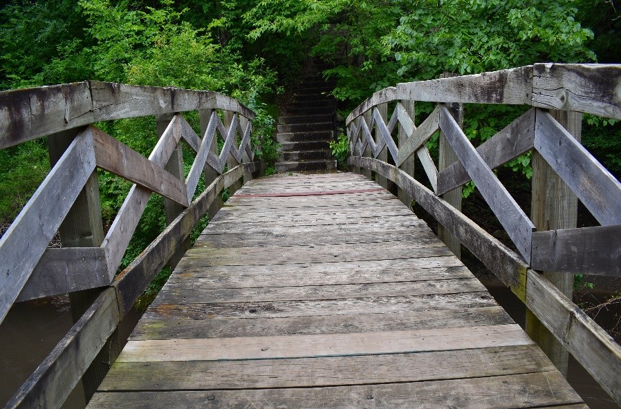
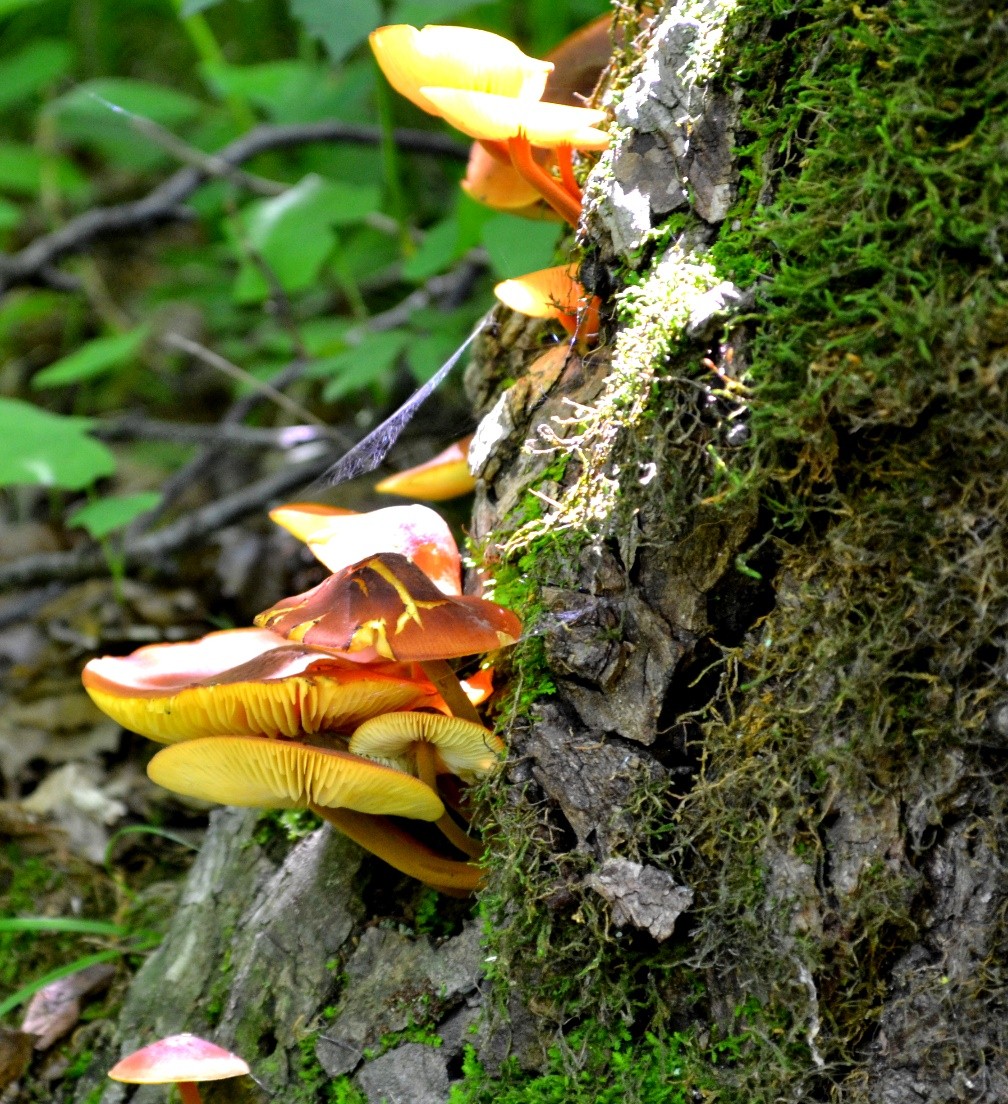
First on your agenda is visiting Ramey Falls Cansayapi. Take a moment to soak in the beauty of the falls, and snap a few photos to share with your friends and family. After viewing the falls, I recommend hiking down to the wooden arch bridge where you will encounter beautiful scenery. There are numerous wildflowers, plants, and mushrooms that can be captured as vibrant photos. Keep an eye out for mushrooms hiding in the brush—they are very distinctive in shape and color. It is important to note that some mushrooms are poisonous and should not be touched or eaten.
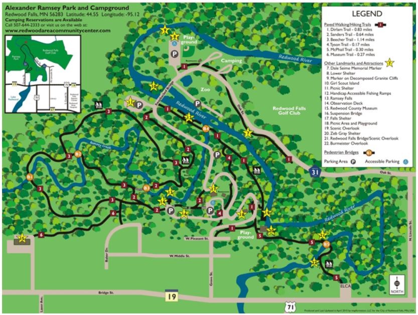
Next, hike back up near the top of the falls and explore the unique suspension bridge. The picture perfect spot for a group photo is in the middle of the bridge. The third bridge you will see and drive over at the lower part of the park is the sway back bridge. After photographing this historic bridge, head to the zoo with your family and/or friends and see all of the animals.
Lastly, for a cool architectural photo, hike the 0.27 mile trail to the Redwood County Historical Museum. There is a great park map on the park website. Take your time exploring this gem of a park, and make sure to take plenty of memorable photos!
Content submitted by: Allie Martens, Minnesota Department of Natural Resources

